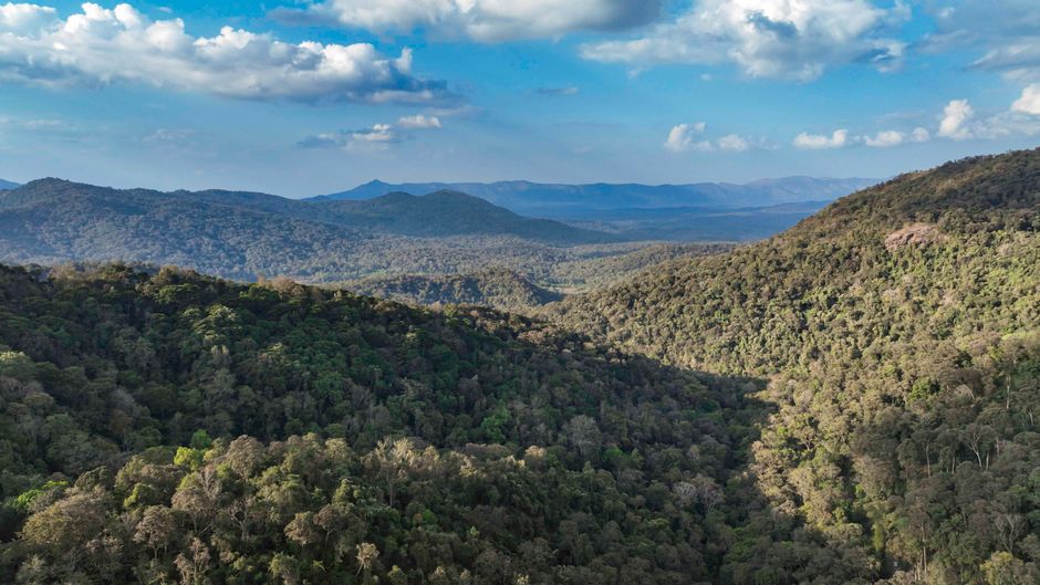
During a three‑day special Assembly session, Karnataka Chief Minister D.K. Shivakumar unveiled a plan to use drone‑based LiDAR and plot‑level mapping of the Western Ghats to clearly separate forested land from agricultural plots.
The proposal is aimed at strengthening Karnataka's objections to the July 27 Kasturirangan draft, which seeks to designate 20,668 sq km across ten Karnataka districts as eco‑sensitive areas, with the state required to file its objections by September 27.
ALSO READ | Speeding Mahindra Thar Kills 57‑Year‑Old Dairy Operator in Jaipur Collision
High‑resolution, ground‑level data from the survey is intended to provide evidence that could shape the central government's final decision on ESA boundaries, influencing land‑use permissions in the region.


