)
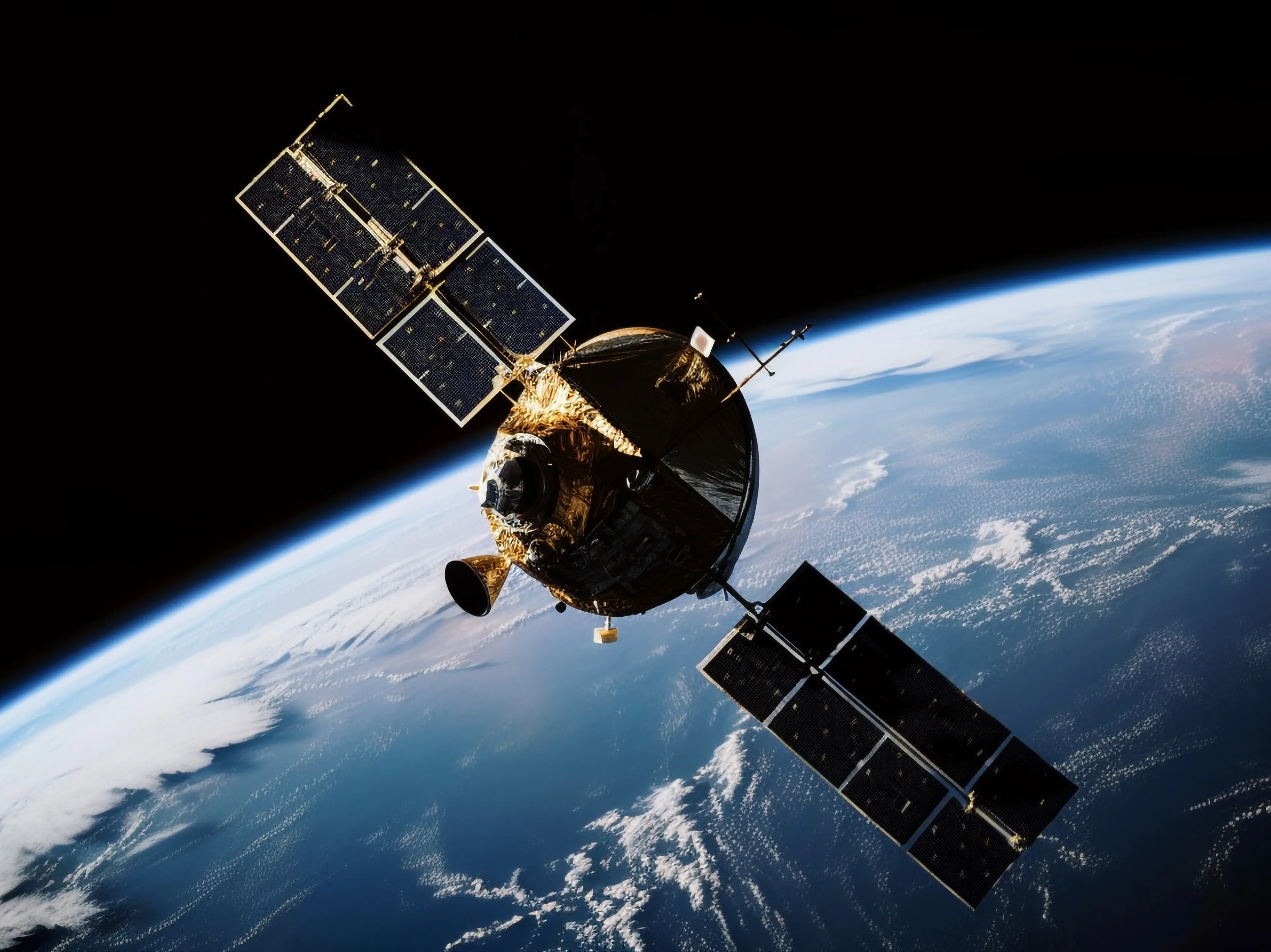
Newly announced defence initiatives are stitching together a multi‑layered surveillance architecture that stretches from ground‑based sensors on the Himalayan frontier to orbital platforms watching the Indian Ocean. The plan, outlined by senior officials from the Ministry of Defence and the Indian Space Research Organisation (ISRO), calls for the deployment of high‑resolution electro‑optical radars along the Line of Actual Control, a fleet of AI‑enabled unmanned aerial vehicles for rapid border patrol, and a constellation of low‑Earth‑orbit satellites equipped with synthetic‑aperture radar and electro‑optical payloads. Data harvested by these assets will be fed into a central analytics hub where machine‑learning algorithms sift through imagery and signals to flag anomalies in near real‑time.
In the past six months India has launched two dedicated surveillance satellites, RISAT‑2B and Cartosat‑3, both designed to provide day‑and‑night imaging at sub‑meter resolution. Simultaneously, the Defence Research and Development Organisation (DRDO) has completed field trials of a 300‑kilometre‑range electro‑optical sensor that can track low‑observable aerial threats. The Indian Air Force has also inducted a squadron of indigenously built drones capable of autonomous patrols along the western coast, feeding live video streams to the new command centre in New Delhi. The integration of these disparate systems is being overseen by the Integrated Defence Staff, which aims to create a seamless picture of the nation’s security environment.
ALSO READ | India and ASEAN Nations Chart Scalable Agricultural Cooperation at Summit
Officials say the network will be operational in phases, with the first tier – border sensors and satellite feeds – expected to be fully functional by early 2027. Subsequent upgrades will add maritime surveillance nodes and expand AI‑driven predictive analytics, allowing the armed forces to anticipate and counter threats before they materialise.